
 3 hours
 E Lucevan Le Stele North facing
 Quartzite and Conglomerate
Acknowledgement
Hamish Jackson
Introduction
Mt Murchison is a large conglomerate peak on the West Coast near Rosebery, remarkable for a crater-like physiognomy (not a true crater, but a glacial cirque - aka Cwn). Cliffs have been climbed inside and outside the cirque, and the rim itself makes for a good alpine traverse experience.
History
Phil Robinson and Glen Kowalik ascended the first known route in Feb 1987. They also enjoyed traversing the rather aesthetic easy angled slabs on the north eastern side of the inner sanctum. In the 1990s Peter Steane visited the mountain and climbed 'some easy long slabs on the outside of the crater rim' and possibly the western ridge traverse - the details are so far unrecorded. Hamish Jackson visited the mountain in 1999 and did two routes inside 'the crater', and recognized the potential of Le Stele buttress. After two failed attempts on the buttress he returned to complete the major lines of Acrasia with Shumita and Lost Arrow with Adam. The rock accepts natural gear much more readily than the cliffs nearby on the Tyndall Range, so to date all climbs have been all on natural gear.
Access
Walk time 3 hours, uphill.
Well marked trail. Car park and sign post can be found on the Anthony Rd.
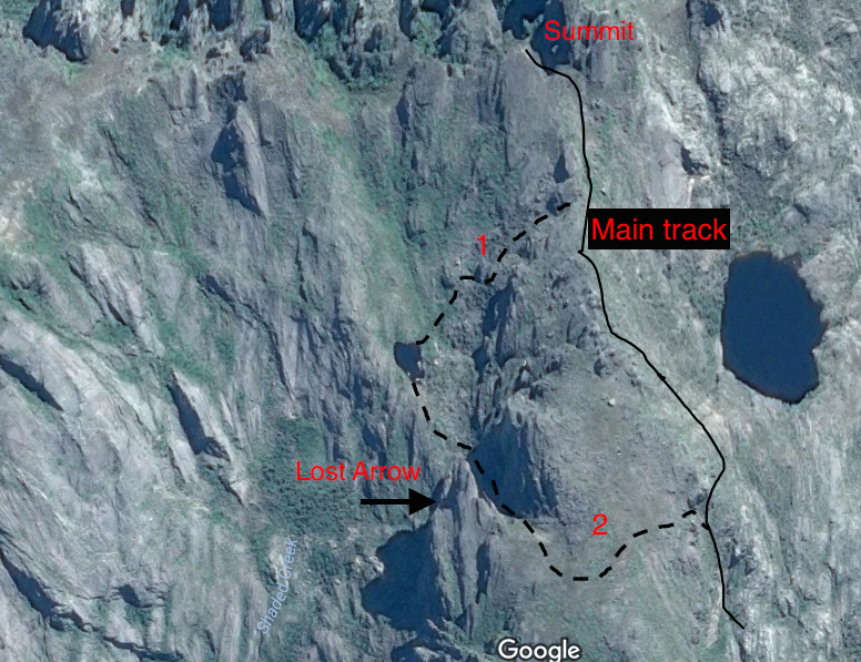
For access to E Lucevan Le Stele and surrounds - follow Mt Murchison summit track (Main Track) then descend to a small hanging lake that lies high inside the crater (see topo). Option 1 shown on the topo is the easiest one to nasvigate on your first trip, as the hanging lake can be clearly seen prior to descent.
Camping
Wilderness camping sits can be found near the hanging lake. Exposed sites with water can also be found along the summit track and crater rim. When camping at the hanging lake be careful to toilet outside the water catchment for the lake.
Crag Steward
Rock climbers please contact the Cliff Steward (southwest@climbersclubtas.org.au) if you have any queries or concerns regarding social or environmental impacts of rock climbing at this crag. Do not email regarding general travel, seasonal advice, or lost property - this is not the Steward’s role. If you have important safety information to communicate (e.g. risks due to recent and large rock falls) please also consider updates on thesarvo forum, facebook group and/or online guidebooks as appropriate. Please copy in cct@climbersclubtas.org.au if you feel you have a high level concern which may imminently impact the crag or climbing community.
Non-climbers, other users, land managers: please also contact cct@climbersclubtas.org.au if you have important climbing related queries at this location.

E Lucevan Le Stele
This is the large northwest and west facing buttress inside the Mt Murchison Cirque. This cliff is conglomerite but most sections are without distinct peddles. The strata is diagnonal and tends to create incut holds on north faces, and slopy holds on western faces.
The horizontal cracks tend to take small cams.
Access: the original route is 5mins walk from camping lake, or 2mins walk from base of descent gully that comes back down 50m east of Acrasia (labelled 2 on topo).
Descent from climbs is via walk off down wide gully 50m east of Acrasia; OR abseil from bollard into narrow gully 25m east of Acrasia (one 50m abseil into gully, then another 50m abseil down steep gully).
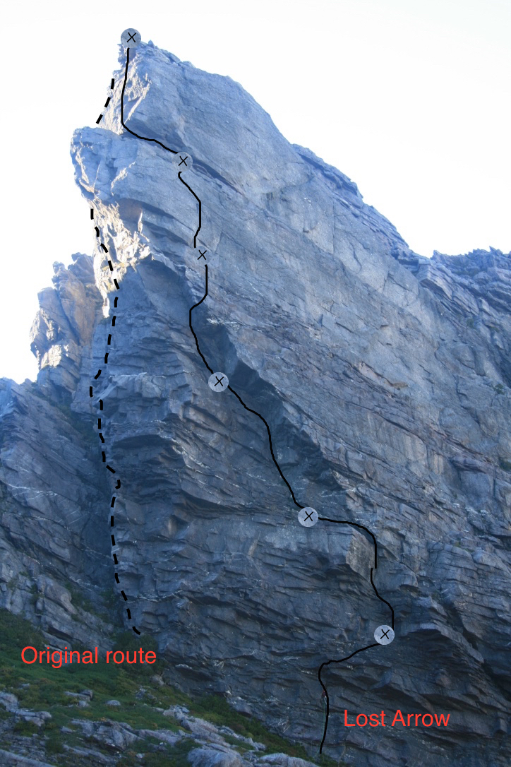
Hamish Jackson and Shumita Joseph Feb 2016
More direct and better climbing than the original route pitch one, but the crux move is intimidating at the grade.
As per original route but continue up right of the arete at the 5m mark through various small overlaps until rooflet (small cams). Move 2m left to arete and then up left of rooflet via balance move (crux) to ledge (DBB).
H Jackson (with thanks to T Smith who belayed original attempt in 2012).
Up "Project" for 15m past gear and 3 BR leading through right end of rooflet (crux). Continue up large corner for 4m above 3rd BR then traverse left to arete (another BR), to DBB on ledge just left of arete (5m below belay of original route Acrasia).
H Jackson, S. Joseph Arpil 2021
Adam Donoghue and Hamish Jackson (var). 22/1/17
ELLS full cliff topo
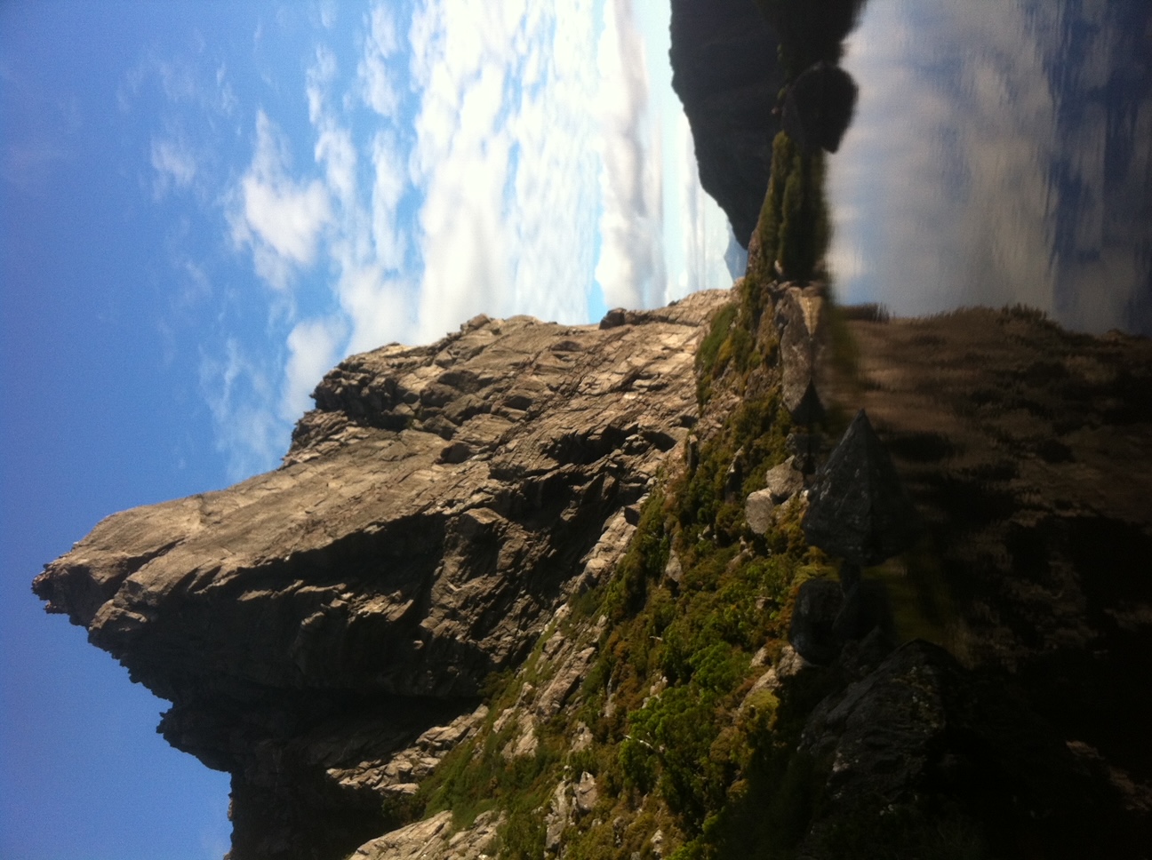
100m R of Lost Arrow. Up R into large corner then diagonally left to rooflet. diagonal bailed off 2 wires + carabiner at roof. (To be continued)
Hj and SJ March 2021
Buttress 100m west of Lost Arrow, just west of descent gully for that route.
Start: scramble up from descent gully to cliff proper.
Follow flakes and intermittent corners up the west facing slabs 100m left of Lost Arrow. Finishes up prominent right facing corner 15m in length. 3 pitches. good rock and natural protection.
H Jackson and Simon Jarman 1999
300m of easy, but very exposed climbing is found on the western ridgeline. Ropes and very light rack are recommended.
Access: from hanging lake track take a carefully planned route across the northern slopes of the 'inner sanctum' (inside walls of crater) to gain the NW rim of the crater. Alternatively walk the entire rim west from the summit trig (faint pad).
Climb: Follow the summit rim that forms the back drop to Phil Robinson's campsite photo. Abseils are usually required. Return via same route, or scrubby descent to Shady Creek and back up slopes to summit track (ie the complete circuit - a long day).
Unknown, a number of ascents are known to date
Kowalik / Robinson Route
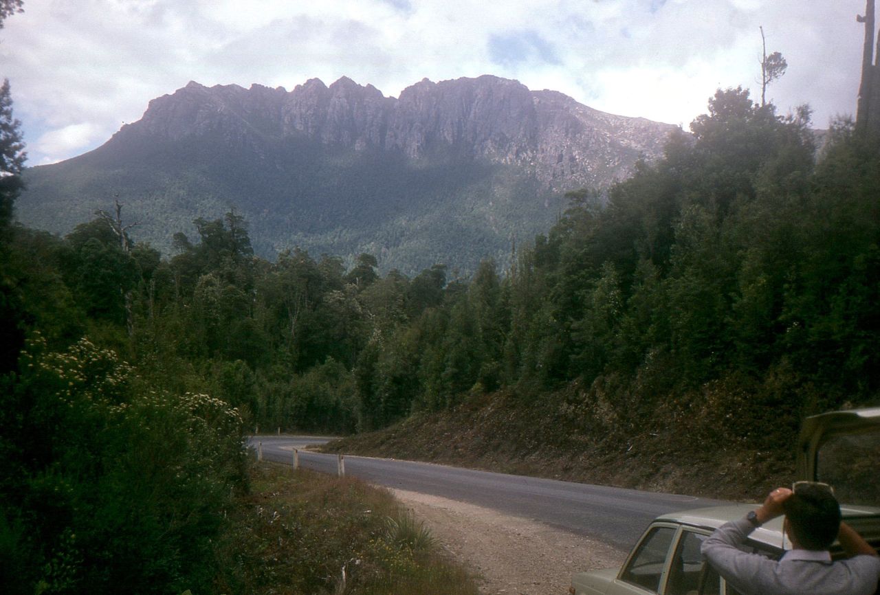
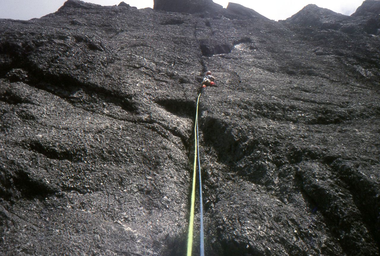
In Feb.1987 a significant 3 pitch climb (gr.~17) was done on the outer western cliffs by Glen Kowalik and Phil Robinson as well as climbing on long easy angled slabs on the eastern side inside the Cwm. Access is by the normal track, then continuing the route towards Lake Sandra - either visa ridgeline traverse from summit, or via slabs heading from the hanging lake. Descend via gully to the large cliffs on the western side, i.e. those visible from the Murchison Highway. Unfortunately the exact location of this route has been forgotten, although there are a few photos.
Mt Murchison
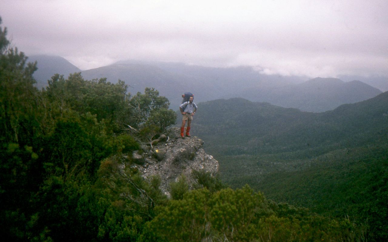
Walk in 1987
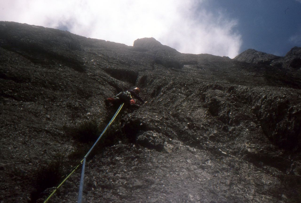
The climb
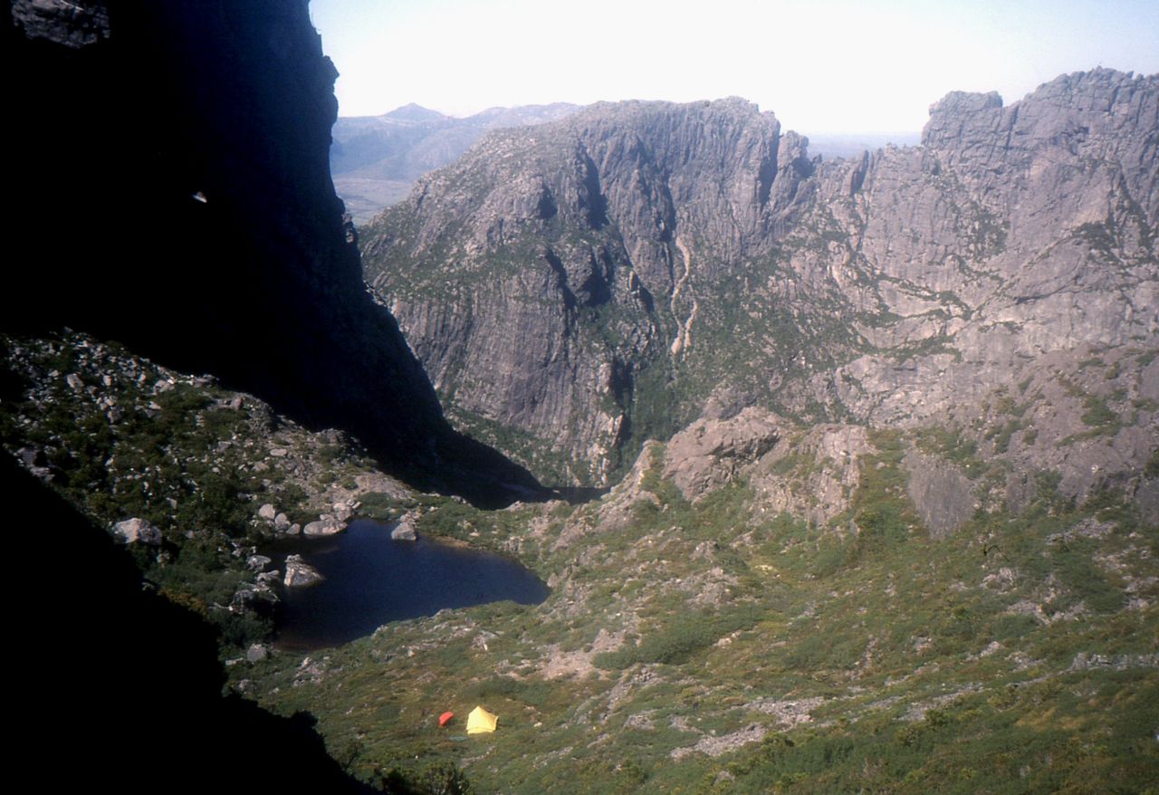
Campsite in 1987
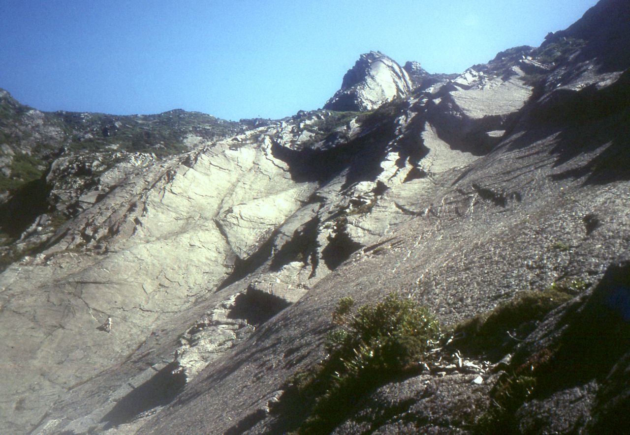
Climber on the slabs
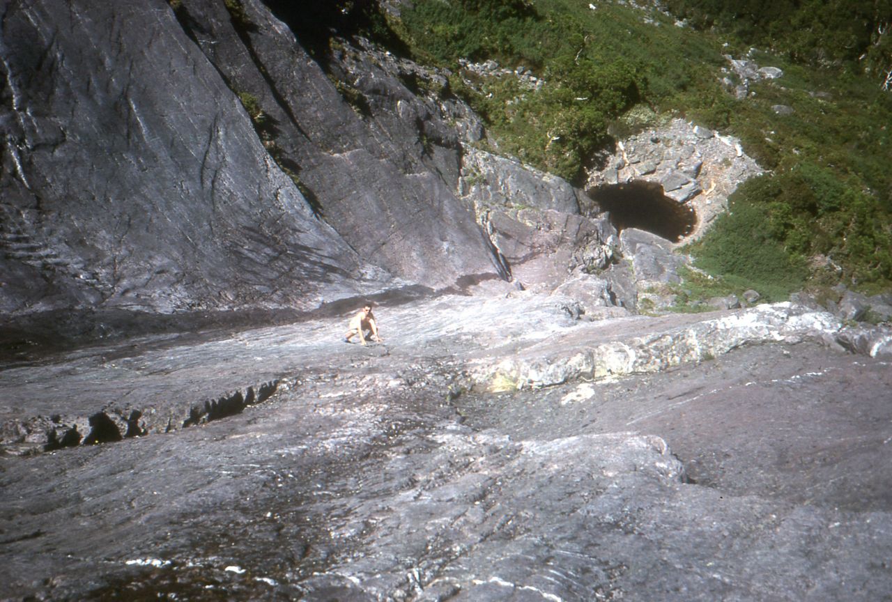
GK on the slabs
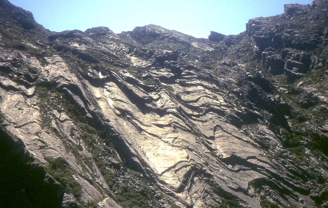
Trig Point (in middle) and easy angled slabs below Murchison summit, 1987.
Photos: Phil Robinson